
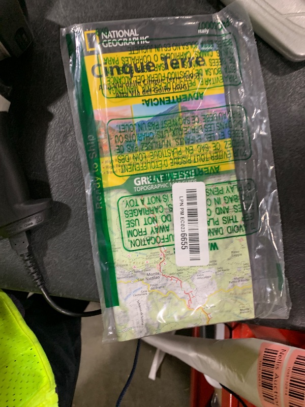
Cinque Terre High Path AV5T Map (National Geographic Trails Illustrated Map, 4006)
Cinque Terre High Path AV5T Map (National Geographic Trails Illustrated Map, 4006)

Description
• Waterproof • Tear-Resistant • Topographic Map Even in Italy, a land of many wonders, Cinque Terre National Park is unique. The park includes a group of five picturesque seaside villages perched along the rocky Ligurian coastline of the Mediterranean Sea--Monterosso al Mare, Vernazza, Corniglia, Manarola, and Riomaggiore. Today, the Alta Via delle Cinque Terre (AV5T) follows the path from Porto Venere up to Termine, not far from the Sanctuary of Soviore, and enters the valley of the Vara River before climbing up to Monte Prato Pinello. This ancient Alta Via del Golfo (AVG) path circumnavigates the Gulf of La Spezia, connecting the villages of Bocca di Magra to Porto Venere. Historic sites and villages await with panoramic views of the Ligurian Sea around nearly every corner. The Cinque Terre Topographic Map Guide booklet makes a perfect traveling companion when traversing these routes. A detailed description of each trail section is included that tells travelers about the many landmarks encountered along the way. Every Great Treks map is printed on "Backcountry Tough" waterproof, tear-resistant paper. A full Lat/Long grid is printed on the map to aid with GPS navigation. Every map purchase helps support the National Geographic Society, an impact driven, nonprofit organization with global reach that uses the power of science, exploration, education, and storytelling to illuminate and protect the wonder of our world. Folded Size = 4.25" x 9.38"
Item Details
Pickup Location
4031 Market Center Dr Suite 303
North Las Vegas, NV, 89030
Quality
Auction closes
August 8, 2025 at 3:49 AM
Estimated Retail Price
$14.95
weight
0.25 lbsBuyers Premium
15%
Inventory Number
1048132813
Found in


Getting Started
Learn more about bidding, winning, pickup, and more on our video tutorials page.
Visit Video Tutorials